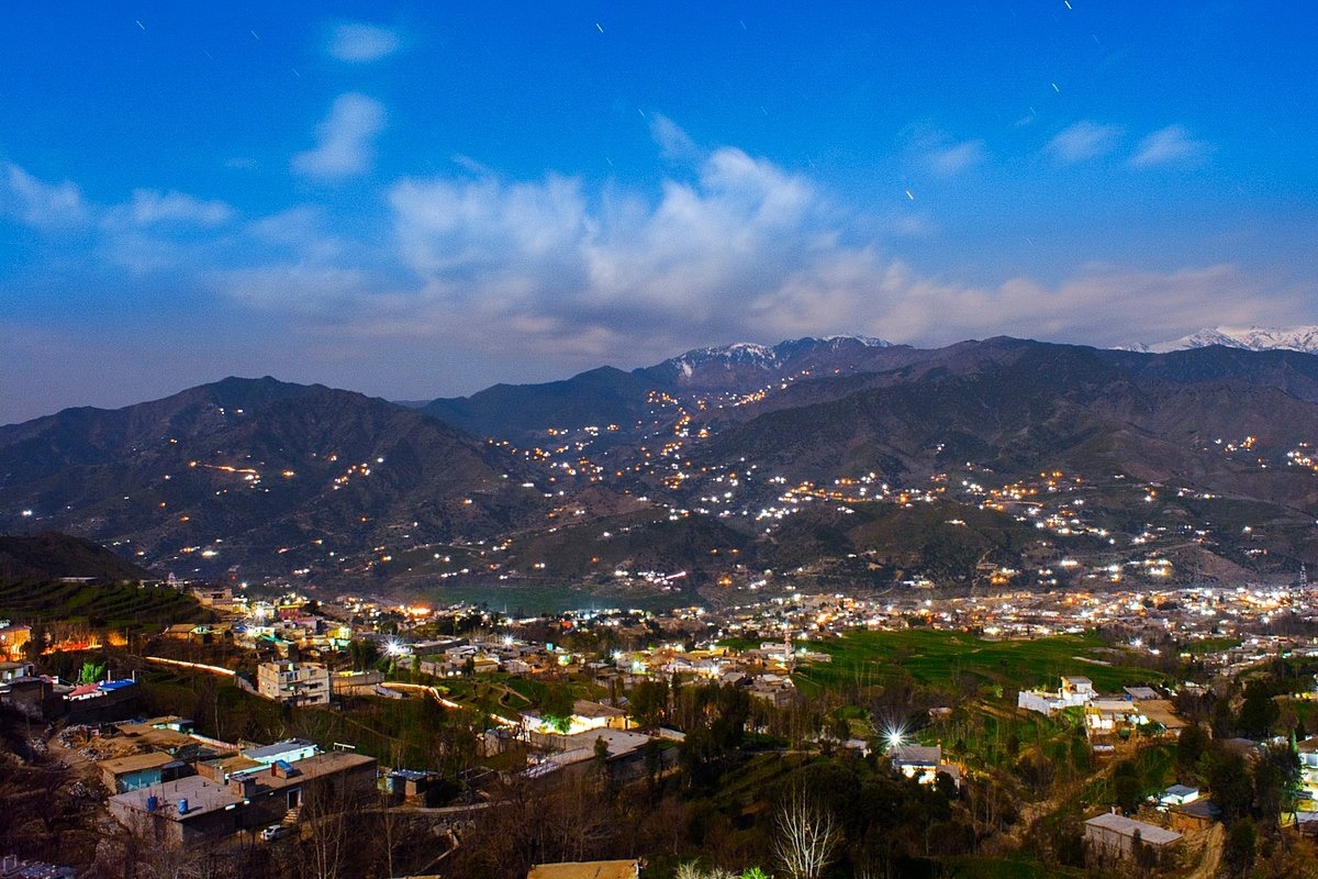
Researchers have developed an adapted rapid visual screening method to assess the earthquake vulnerability of buildings in Dir City, Khyber Pakhtunkhwa, Pakistan. Their findings reveal widespread seismic risk across the region’s built environment.

Image Credit: Iatizaz Ahsan/Wikimedia Commons
With the changing climate, earthquakes are becoming a larger threat worldwide. The damage these natural disasters can cause depends heavily on construction methods, building materials, and adherence to safety codes in the places they hit. While analytical assessment tools like HAZUS, SPECTRA, and ATC-20 offer detailed insights, they are time-consuming and resource-intensive, requiring individual analysis of each structure.
Recently published in the Journal Dynamic Disasters, a research team used rapid visual screening (RVS) techniques as a faster alternative, allowing them to screen large numbers of buildings using standardized forms.
In this study, researchers modified the Federal Emergency Management Agency (FEMA) RVS template to assess the unique buildings and construction practices in Pakistan, and how Dir City's architecture will hold up against earthquakes.
Assessing Dir City’s Buildings
The team surveyed 100 buildings over three months using the RVS template, assessing residential, commercial, government, and religious sites across Dir City. They collected data after rigorous pre-field planning, carrying out field inspections, and organizing it into final vulnerability scores for analysis.
The city’s building stock was highly varied: unreinforced and stone masonry, confined masonry, and reinforced concrete (RC) frames with masonry infill. Many lacked engineering oversight, with two-thirds of the city's structures classified as non-engineered. Having documented the data, the research team categorized each building into different damage grades, with D0 as the lowest.
Findings: A City at Risk
The results painted a troubling picture. Of the 100 buildings, none of them fell into D0 or D1 categories, so all of them carry significant risk in the event of seismic activity. The researchers found that older stone masonry and unreinforced masonry buildings were especially vulnerable, while RC and confined masonry structures performed somewhat better but were still far from resilient.
Additionally, the team found widespread irregularities across Dir City: 38 % of buildings had plan irregularities, 12 % had vertical irregularities, and 42 % had both. Almost a fifth of the buildings also showed preexisting structural damage.
On top of the integrity of the buildings themselves is their setting. Dir City has several areas of steep terrain, significantly magnifying its vulnerability to earthquakes.
Implications and Recommendations
The study demonstrated two things. Firstly, it validated the usefulness of the RVS method for scanning and assessing buildings, with each site scanned in under an hour. Their adapted RVS method matched FEMA's efficiency, while improving accuracy for local conditions.
Secondly, the results revealed a striking picture of Dir City's vulnerability. In fact, 92 % of the buildings assessed were categorized as being in high risk categories D4 and D5, and shared known traits of the structures that were damaged in teh 2005 Kashmir earthquake.
Looking at the data, the researchers recommended several steps to improve structural safety. Stricter building regulations, systematic retrofitting of vulnerable structures, and greater community preparedness to reduce risk. They believe that their framework, despite being developed for Zone III earthquakes, can be adapted to other seismic zones with simple modifications, requiring only updates to soil type and local construction parameters.
Download your PDF now!
The study revealed the fragility of Dir City’s infrastructure and highlighted the urgent need for scalable, region-specific tools to strengthen earthquake resilience. With seismic risk rising across South Asia, the modified RVS method could become an important part of future urban safety planning.
Journal Reference
Shahzada, K., Haq, I. U., Noor, U. A., & Xu, Z.-D. (2025). Seismic vulnerability assessment of buildings in high-risk areas: A modified rapid visual screening approach in Pakistan. Journal of Dynamic Disasters, 1(3), 100018. DOI: 10.1016/j.jdd.2025.100018. https://www.sciencedirect.com/science/article/pii/S2950576325000029
Disclaimer: The views expressed here are those of the author expressed in their private capacity and do not necessarily represent the views of AZoM.com Limited T/A AZoNetwork the owner and operator of this website. This disclaimer forms part of the Terms and conditions of use of this website.